Cybercom ZIP Pro
The real ZIP boundary on a live map — the thing no other ZIP plugin does — plus district outlines, the full census dossier, and every display shortcode.
What it does
The actual outline of the ZIP with its neighbours on a live map. No other ZIP plugin offers this.
School, township, city, county, metro, congressional, tract and state boundaries.
The full census report inline — ACS 2019–2023, the 2020 Census and 2000 for comparison.
A styled info card with population, income and a live local clock.
The nearest biggest cities with distances, for service-area copy.
A complete ZIP search tool embedded straight into a page.
Latitude, longitude, timezone, income and district on top of the free fields.
No cap on your Pro key.
New versions land on your Plugins screen and install themselves if you let them.
Changing host? Release the old site yourself from your account and activate the new one.
Your emails go to the front of the queue.
Every ZIP plugin can tell you that 45503 is Springfield, Ohio. None of them can draw you its actual shape.
Pro ships the real boundary geometry: the ZIP outline on a live map with its neighbours, and district overlays for school, township, city, county, metro, congressional, tract and state lines — 33,791 boundaries and 171,707 district polygons behind it. On top of that sits the full census dossier inline (ACS 2019–2023 five-year, the 2020 Census, and 2000 for historical comparison), the nearest-biggest-cities list with distances, and an embeddable search tool. Lookups are unlimited on your Pro key, census data is served live so it is current by definition, and the plugin updates itself from zyzxsolutions.com. One key does both jobs — it unlocks the features and it identifies your traffic to the lookup service — so there is nothing else to wire up.
Specifications
| Records | 41,761 US ZIP codes |
|---|---|
| Boundaries | 33,791 ZIP boundaries, 171,707 district polygons |
| Datasets | ACS 2019–2023 (5-year), 2020 Census (DHC), TIGER 2020 boundaries, Census 2000 (legacy) |
| Shortcodes | [zip_info], [zip_time], [zip_card], [zip_dossier], [zip_cities], [zip_areas], [zip_lookup] |
| Lookups | Unlimited |
| Requires | WordPress 5.8+, PHP 7.4+ |
| Updates | Automatic, from zyzxsolutions.com |
| Pricing | 1 site $49/yr · 5 sites $99/yr · agency unlimited $199/yr |
| Founder Lifetime | $149 once, no expiry — only until 30 April 2027 |
Changelog
- 1.0.1 Added the data-freshness panel. Pro licence field and self-hosted updater.
- 1.0.0 First public release — autofill, [zip_info], [zip_time], free and Pro editions.
Questions about this product
What is the difference between Free and Pro?
Free does autofill, [zip_info] and [zip_time]. Pro adds the boundary and district maps, the census dossier, the [zip_card], [zip_cities] and [zip_lookup] shortcodes, richer autofill fields, unlimited lookups, automatic updates and priority support.
Do I need two plugins?
No. Pro replaces the free edition — run one or the other, not both.
What makes the boundary maps special?
They are the genuine ZIP outlines from TIGER data, not a radius drawn around a centre point. That is the difference between a real service-area map and a circle.
How many sites does a licence cover?
One at $49/yr, five at $99/yr, or unlimited at $199/yr. You can release a site yourself from your account when you move host.
What is Founder Lifetime?
$149 once, no renewal ever. It retires on 30 April 2027 and will not return.
Is the census data kept current?
Yes. It is served live from the API rather than bundled, and the settings screen shows you exactly which vintage you are running against.
What happens if my licence lapses?
The version you have installed keeps working. You stop getting updates and Pro data until you renew — nothing breaks.
What if your server goes down?
Pro keeps working. The plugin only switches features off when we tell it the licence is genuinely invalid, never because it could not reach us.
Does it cover Canada or the UK?
Not yet. US ZIP codes only today; international postal data is on the roadmap.
Goes well with
Cybercom ZIP Autofill
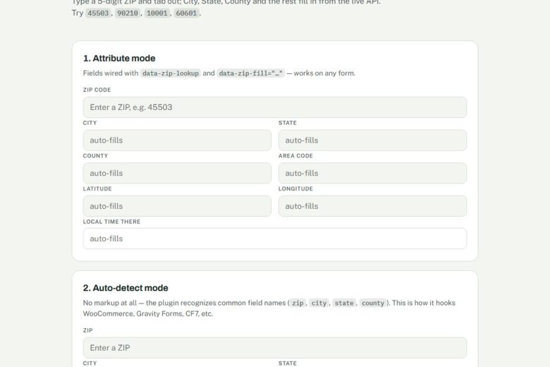
Free ZIP-code autofill for any form — city, state, county and area code fill themselves in. Plus the [zip_info] and [zip_time] shortcodes.
Habit Tracker
A mobile-first habit tracker that builds your day around your real calendar and closes the gaps when you finish early or run…
IT Helpdesk & Knowledge Base
Ticketing and a searchable knowledge base in one plugin, so the same question stops arriving every week.